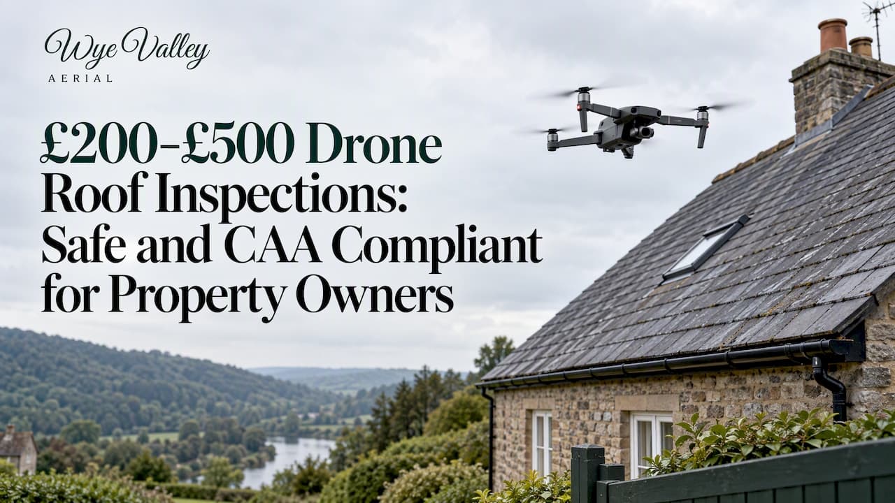
A drone roof inspection is the right first step for most steep, tall or hard-to-access roofs: it delivers high-resolution photos, short video clips and annotated images, with thermal imaging available as an optional add-on. Before booking, check the provider's CAA operator registration, pilot qualifications and insurance, or request a quote from an operator who can confirm all three upfront.
TL;DR:
- A standard survey costs £200 to £500, versus £150 to £350 for a basic visual check and £500 to £1,000 or more for structural work.
- Use the report to triage surface defects; timber rot, roof deck softness, and load capacity still require a loft inspection or hands on structural survey.
- Before booking, confirm the report includes annotated high resolution photos, a flight log, and written findings, and clarify image resolution and data ownership.
- An independent paid survey gives you evidence for competing repair quotes or insurance claims; a contractor’s free check may be tied to its repair sales.
- Before paying, verify the operator’s CAA registration, third party liability insurance, and pilot qualification, typically an A2 Certificate of Competency.
Table of Contents
- What a drone roof inspection is and what it can identify
- What drone surveys deliver: typical deliverables and data formats
- Typical cost, pricing drivers and realistic timelines
- Legal, safety and regulatory essentials for commercial drone surveys
- How to choose a drone roof inspection provider
- Thermal imaging and limitations: when it helps and when it doesn't
- What to expect on the day: preparation, access and the survey process
- A pilot's view on what surveys actually reveal
- Wye Valley Aerial Imaging: services and how to get a free quote
- FAQ
- Sources
What a drone roof inspection is and what it can identify
A drone roof inspection uses a remotely piloted aircraft fitted with a high-resolution camera to capture detailed imagery of a roof without anyone climbing a ladder or working at height. It is faster than scaffolding or cherry-picker access, usually taking under an hour on site, and it avoids the risk and cost of physical roof access for a first-look assessment.
The imagery reliably identifies surface-level defects, which cover most of what prompts a roof check in the first place.
- Broken, cracked or missing tiles and slipped slates
- Blocked, sagging or disconnected gutters
- Damaged or lifted flashing around chimneys and joints
- Tears, blisters or ponding on flat roof membranes
- Moss, vegetation growth and general debris build-up
A drone cannot replace every form of inspection. It cannot check timber condition from inside the roof void, feel for soft or rotten decking by touch, or assess structural load capacity: those still need a loft inspection or a hands-on structural survey. Treat drone data as a triage tool that reliably flags surface defects needing follow-up and reduces unnecessary risky access, rather than eliminating physical inspection altogether.
Common uses include a post-storm damage check, a condition record before selling a property, routine maintenance planning, and evidence gathering to support an insurance claim.
What drone surveys deliver: typical deliverables and data formats
A professional drone roof survey should produce a clear, usable data set rather than a handful of snapshots. Knowing what to expect helps you compare quotes properly and get full value from the report.
- Annotated high-resolution photos marking each defect location
- Short video clips showing roof sections in context
- A flight log recording when and where images were captured
- A written summary describing findings in plain language
- An optional orthomosaic or 3D model for larger commercial sites
Where thermal imaging is included, deliverables typically arrive as thermal image files alongside the standard visual set, sometimes layered into a combined map for easier comparison. Annotation and geolocation data add real value here: a roofer, chartered surveyor or insurance assessor can match each flagged issue to its exact position on the roof rather than guessing from a general photo, which speeds up any follow-up quote or claim. Sharing site photos and noting access hazards in advance also improves survey planning and reduces wasted visits.
Before booking, ask about image resolution, the annotation convention used, and who owns the resulting data once the job is complete.
Typical cost, pricing drivers and realistic timelines
Drone roof survey prices in the UK for 2026 typically sit in the £200 to £500 range for a standard survey with annotated photos, according to one UK roof survey cost guide. The same guide lists a basic visual inspection at £150 to £350, and a detailed structural survey by a chartered surveyor at £500 to £1,000 or more, positioning a drone survey as a cost-effective middle option for steep or hard-to-access roofs.
Several factors move the price within and beyond that band:
- Roof size and complexity, including multiple pitches or access restrictions
- Whether thermal imaging or full orthomosaic mapping is requested
- Travel distance and total time required on site
- The depth of reporting needed, from quick photos to a full annotated report
Most standard surveys take under an hour on site, with a written report following within a few working days. Larger commercial sites with multiple buildings naturally take longer and cost more.
One pattern worth watching: independent paid surveys usually cost more than a "free" check offered by a roofing contractor, but the paid version gives an impartial, data-driven report you can use to get competing quotes or support an insurance claim, rather than one tied to a sales pitch for repairs.

Legal, safety and regulatory essentials for commercial drone surveys
Any operator carrying out drone roof surveys for payment in the UK must meet a clear regulatory floor, and checking for it protects you as the client as much as it protects the pilot.
- Operator registration with the Civil Aviation Authority for commercial drone use
- Third-party liability insurance covering the flight and any incident
- A remote pilot holding the required competency qualification for the operation
- Adherence to visual line of sight rules and height or distance restrictions near structures
For most residential and small commercial roof surveys, the pilot needs an A2 Certificate of Competency to fly in the Near People (A2) sub-category, which permits closer operation to buildings than the standard open category allows. More complex sites, such as those needing closer proximity or beyond visual line of sight flight, may require a specific operational authorisation from the CAA.
HSE guidance recommends avoiding work at height wherever possible and identifies remote visual inspection, including drone survey, as an appropriate control measure for an initial condition assessment, while noting that physical inspection may still be necessary in complex cases. A 2024 evidence base from HSE and industry trials on remote visual inspection methods now informs current good practice around what drone inspection can and cannot reliably confirm.

How to choose a drone roof inspection provider
Picking the right provider matters more than the headline price, because a cheap survey with poor data or no compliance proof costs you more in follow-up work later. Run through this checklist before booking:
- Confirm the operator's CAA registration number and ask to see it
- Ask for proof of third-party liability insurance
- Check the remote pilot's qualification, such as A2 CofC
- Request a sample report or deliverable from a previous job
- Ask what happens if weather or battery issues interrupt the flight
- Clarify how your images and data will be stored and used
When requesting quotes, ask specific questions rather than accepting a flat figure: what exactly is included in the report, whether flight logs and geolocation data are provided, the sensor specification if thermal imaging is requested, expected turnaround time, and the cancellation or rescheduling policy if weather intervenes.
Watch for a particular red flag: a "free" drone survey offered by a roofing contractor who then quotes for the repairs it finds. That arrangement creates an obvious conflict of interest, since the same party benefits from finding more problems. An independent, paid survey from an operator with no stake in any repair work gives you a more impartial read of actual roof condition, which matters if you plan to get competing repair quotes or submit the findings to an insurer.
Pro Tip: Ask any provider to confirm their CAA operator ID and pilot qualification in writing before the booking is finalised, not on the day of the flight.
Flights carried out under Wye Valley Aerial Imaging are operated by a qualified pilot holding A2 CofC certification, with full insurance and flight plans following CAA rules, and fixed quotes confirmed before any booking is finalised.
Thermal imaging and limitations: when it helps and when it doesn't
Thermal imaging adds a genuinely useful layer to a roof survey in specific situations. It can reveal trapped moisture under a membrane, patches of missing or degraded insulation, and areas of standing water on flat roofs that are not obvious from a standard photo.
It has real limits, though.
- Thermal data only shows surface temperature variation, not what is causing it
- Results are sensitive to weather, time of day and recent sun exposure
- Interpretation needs a skilled eye to avoid misreading normal material variation as a defect
- A thermal anomaly often still needs a follow-up intrusive check to confirm the cause
When reviewing a thermal report, check the sensor resolution and calibration notes rather than accepting a colourful heat map at face value. A vague thermal image with no explanation of conditions at the time of capture is a sign to ask more questions before treating the findings as conclusive.
What to expect on the day: preparation, access and the survey process
A smooth drone roof survey depends on a bit of preparation from both sides. Here is the typical sequence:
- Before the visit, share a few site photos, flag any access hazards such as overhead cables or nearby trees, and confirm parking and any no-fly considerations near the property
- On arrival, the pilot runs a short briefing and sets up a safety perimeter around the flight area
- A test flight checks conditions and camera settings before the main capture begins
- The main survey captures the full roof, followed by thermal passes if these were ordered
- Flight logs are recorded throughout, noting timing and position for each image
- After the flight, the report is prepared and delivered, usually within a few working days
- You can then ask for clarification on any flagged issue and get guidance on whether a repair quote or a further intrusive check is the sensible next step
Most of this preparation takes only a few minutes of your time but makes a measurable difference to how quickly the survey runs and how useful the resulting data is.
A pilot's view on what surveys actually reveal
Qualifications matter more than they might seem from the outside: an A2 CofC and full CAA compliance are not paperwork exercises, they determine how close and how safely a drone can legally fly near a building. Surveys regularly turn up issues the client had no idea about, a slipped ridge tile at the back of a roof, a gutter joint quietly failing behind a chimney stack, problems invisible from ground level that only become obvious once you are looking down from above.
Weather windows matter too. A calm, bright morning gives far better image quality and safer flying conditions than a gusty afternoon, so a provider who offers flexible rescheduling for weather is protecting the quality of your report, not just being accommodating.
— Rhys
Wye Valley Aerial Imaging: services and how to get a free quote
We provide drone-based roof and building checks alongside property stills, a stills-and-short-film package, and half-day or full-day sessions, all flown in compliance with regulations. Every quote is fixed and free, with flexible rescheduling if the weather turns.

| Service | What it covers |
|---|---|
| Property stills | High-resolution aerial photos of the property |
| Stills and a short film | Photos plus an edited short video |
| Half day on site | Extended capture session for larger sites |
| Full day | Full-day coverage for extensive properties |
| Roof and building check | Drone-based roof and building condition survey |
To get a free, fixed quote, get in touch with a few details: the property address, roof type if known, and what you need the survey for, whether that is a storm check, a pre-sale record or an insurance claim. Full details of each package sit on the services page.
FAQ
How much does a drone roof inspection typically cost in the UK?
A standard drone roof survey with annotated photos usually costs £200 to £500, compared with £150 to £350 for a basic visual check and £500 or more for a full structural survey. Thermal imaging or mapping for larger sites typically adds to that base price.
Is a drone roof survey worth it?
For steep, tall or hard-to-access roofs, a drone survey gives a safer and often cheaper first look than physical access, and it reliably identifies surface defects such as missing tiles or damaged flashing. It is not always a substitute for a hands-on structural survey in complex cases, so treat it as a strong first step rather than the final word.
What should a drone roof survey report include?
A proper report includes annotated high-resolution photos, a flight log, and a written summary of findings, with video clips and thermal imaging available where requested. Ask about image resolution and data ownership before booking so you know exactly what you are getting.
Do I need a drone survey or a physical roof inspection?
A drone survey is the right first step for most routine checks, storm damage assessments and pre-sale records, since it identifies surface issues without the cost and risk of ladder or scaffold access. A physical or loft inspection is still needed when timber condition, rot or structural load are in question, since a drone cannot assess those from the air.
What qualifications should a drone roof inspection provider have?
A compliant operator needs CAA operator registration, third-party liability insurance, and a remote pilot holding the relevant competency qualification, typically an A2 Certificate of Competency for Near People operations. Always ask to see proof of these before booking.