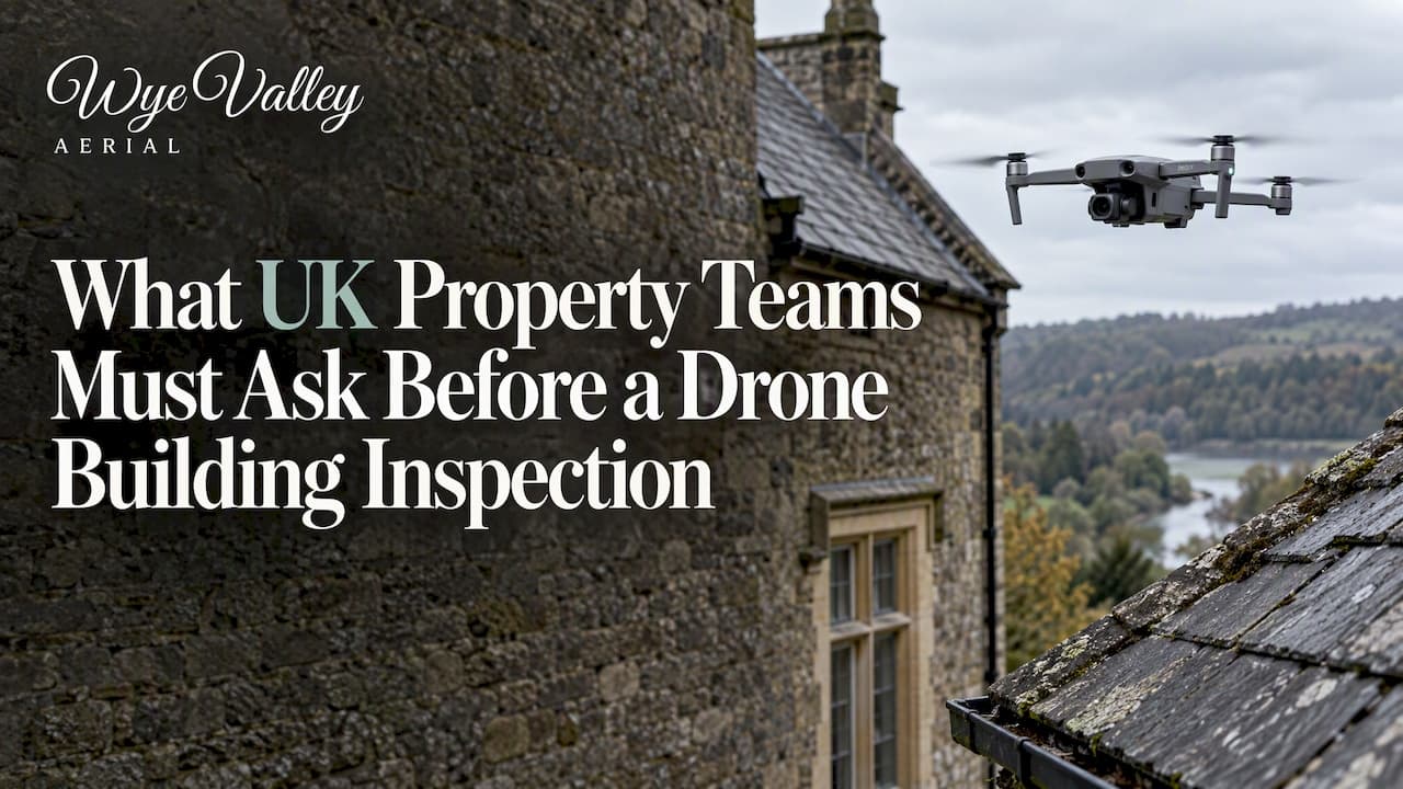
A drone building inspection gives property managers and facilities teams high-resolution imagery and an annotated dataset of a building's exterior, usually without scaffolding or a cherry picker. It suits roof checks, façade surveys and recurring portfolio monitoring, and in the UK it runs under Civil Aviation Authority rules that shape where and how a pilot can fly.
TL;DR:
- UK rules set a 50 meter default separation from uninvolved people; exceptions depend on drone class and pilot credentials, while restricted sites may need approval.
- Drone imagery documents defects but cannot inspect cavity walls, roof timbers, or areas behind cladding; structural concerns still need a qualified surveyor or engineer.
- Small residential surveys typically take 30 to 60 minutes on site, while a medium block takes about half a day.
- Before booking, verify CAA authorization, insurance limits, sample reports, raw image access, weather rescheduling terms, and a fixed quote covering processing and reporting.
Table of Contents
- What a drone building inspection includes: services and deliverables
- Benefits and limitations compared with scaffolding and MEWPs
- Legal, safety and data protection requirements in the UK
- How to choose a drone inspection provider: checklist, questions and red flags
- Typical cost drivers and inspection timescale
- Integration of drone inspection data with facility management or maintenance systems
- Post-inspection analysis and reporting process
- Safety protocols and risk assessments during drone inspections
- Types of drones and sensors used specifically for building inspections
- Publisher perspective and E-E-A-T summary
- Get a drone building inspection quote
- FAQ
- Sources
What a drone building inspection includes: services and deliverables
A typical visit covers more than the roof. Pilots capture pitched, flat and metal roofing, then move to façades, cladding panels, chimneys, gutters, parapets and any rooftop solar installation, working close enough to spot cracking, slipped tiles, blocked gutters or render defects that are invisible from ground level.
Thermal cameras come into play when a survey needs to find trapped moisture, missing insulation or heat loss through a wall or roof void, since temperature differences often show up before visible damage does. The HSE good practice project on remote visual inspection found that drones can reliably pick up many surface defects, though some faults still need a closer, hands-on look.
What you should expect back from a provider:
- High-resolution stills of every elevation and roof plane, geotagged for reference.
- Annotated photos marking cracks, missing material or water ingress points.
- Short video walk-throughs for context that stills alone cannot give.
- An organised dataset, filed by elevation or defect type, ready to drop into a condition report.
Some providers also offer orthomosaic maps or 3D models for larger or more complex buildings, useful when a repair programme needs precise measurements rather than just photos.
Benefits and limitations compared with scaffolding and MEWPs
The main draw is safety. Replacing a scaffold tower or mobile elevating work platform with a drone removes the working-at-height risk entirely for that part of the survey, a point the HSE's remote visual inspection work backs directly. It also means less disruption for residents: no scaffold poles blocking windows, no access permissions to negotiate with neighbours, and a single site visit instead of days of setup and strike-down.
Drones are quick, too. One flight can cover an entire roof and façade in the time it would take to erect a single scaffold bay, which makes repeat surveys across a housing portfolio far more practical.
The limits matter just as much. Drones cannot see inside cavity walls, roof timbers or behind cladding, and strong wind or rain grounds a flight outright. Where a defect needs physical testing or internal access, a drone survey becomes the first step that narrows down where scaffolding or a surveyor's hands-on visit is actually needed, often shrinking the scope and cost of that follow-up work.
Pro Tip: Use a drone survey as the triage step: fix what's confirmed from the imagery, then scaffold only the sections flagged for closer inspection.
Legal, safety and data protection requirements in the UK
Any provider you appoint should be operating within clear rules, not just good intentions. The starting points:
- CAA open category rules set a default 50m horizontal separation from people not involved in the flight, with reduced distances possible for low-mass or low-speed drones and for pilots holding an A2 Certificate of Competency.
- Pilots should check NOTAMs and airspace maps before every flight, since restrictions can appear near airports, events or temporary exclusion zones.
- Taller structures or constrained urban sites sometimes require 'specific' category permissions or direct coordination with airspace authorities, which a competent operator will flag before quoting.
- Capturing identifiable people or private gardens can engage data protection obligations, so good practice includes notifying residents in advance and keeping incidental personal data to a minimum.
- Public liability insurance and a clear process for reporting any incident are standard expectations, not extras.
None of this is exotic paperwork. It is the baseline that separates a professional inspection from someone flying a consumer drone over a rooftop.
How to choose a drone inspection provider: checklist, questions and red flags
Credentials come first. Ask for evidence of CAA authorisation, confirmation of an A2 CofC or equivalent operational permission, and the limit on their public liability insurance. A provider who hesitates on any of these is not ready for commercial work.
Technical fit matters next:
- What resolution does the camera capture at, and is that enough to spot hairline cracking or slipped tiles?
- If thermal imaging is part of the brief, is the thermal camera calibrated, and what temperature differential can it reliably detect?
- For mapping or 3D deliverables, does the workflow use RTK/PPK positioning or ground control points, the approach Pix4D's guidance on drone building inspections points to for survey-grade accuracy?
- What file formats and storage arrangements will the data arrive in, and for how long is it kept?
Before signing off, insist on seeing a sample annotated report, confirm whether raw images are included alongside the processed dataset, and agree a realistic turnaround time.
On the operational side, check that the provider works to a written risk assessment and method statement, notifies residents or occupiers ahead of the flight, and has a clear policy for rescheduling around weather rather than flying in marginal conditions.
Commercially, look for:
- A fixed quote that states exactly what is and is not included.
- Clear terms on cancellation, rescheduling and any reshoot if conditions change.
- Transparent costs for travel, parking or any permits the job needs.
Red flags are consistent across the sector: vague answers about permissions, no sample deliverable to review, insurance cover that is never quite specified, or reluctance to share a RAMS document. Any one of those is reason enough to keep comparing quotes.
Typical cost drivers and inspection timescale
Price depends on a handful of variables rather than a flat rate. Building size and height set the baseline, since a three-storey block takes longer to cover than a bungalow. Sensor choice adds cost too: thermal imaging and mapping-grade cameras cost more to run than a standard visual survey. Access complexity, such as a constrained courtyard or nearby trees, and any need for airspace permissions can also push the quote up.
On timing, expect:
- A small residential property to take 30 to 60 minutes on site.
- A medium-sized block or small estate to need around half a day.
- A large estate or multi-building portfolio to take several days to survey, with extra processing time afterwards for 3D models or orthomosaics.
When comparing quotes, check that data processing, the written report and the policy on re-flights due to weather are all included in the price rather than billed separately afterwards.
Integration of drone inspection data with facility management or maintenance systems
The value of a drone survey compounds once the imagery sits inside a wider maintenance workflow rather than a folder of photos nobody opens again. Most facilities teams already run a computerised maintenance management system or asset register, and geotagged images with defect annotations slot into that structure as evidence against a specific building, elevation or asset ID.
That link matters for two reasons. First, it turns a one-off survey into a baseline: the next inspection can be compared directly against the last one, making it obvious whether a crack has widened or a damp patch has spread. Second, it gives planned preventive maintenance programmes something concrete to schedule against, rather than relying on a caretaker's visual impression during a routine walk-round.
Practically, this means agreeing a file-naming convention and data format with the provider before the flight, so images and reports import cleanly rather than needing manual re-sorting. Housing associations running drone programmes at scale have found that this kind of integration is what turns inspection data into a working repair pipeline, feeding directly into case study evidence from Renfrewshire Council's drone programme, which reduced inspection time and helped target repairs across a large housing stock. For a smaller portfolio, the same principle applies on a simpler scale: a shared drive structure or basic spreadsheet linking each image set to a property reference achieves much the same outcome without needing specialist software.

Post-inspection analysis and reporting process
Once the flight is complete, the raw material is just a folder of images and video until someone works through it. A competent provider reviews every elevation systematically, flagging anything that deviates from expected condition: cracked render, lifted flashing, missing pointing, corrosion on metal roofing or a thermal signature suggesting trapped moisture.
Each flagged item gets annotated directly on the image, usually with a short note on location and apparent severity, then compiled into a structured report organised by elevation or defect category. This is largely a manual process: while some platforms offer automated defect-detection software, a trained eye still catches context that an algorithm misses, such as whether a crack pattern is cosmetic or linked to a structural movement issue elsewhere on the building.
It is worth being clear about where that analysis stops. Drone imagery identifies and documents visible defects; it does not replace a structural assessment. Where a flagged item raises a structural concern, the HSE's remote visual inspection findings are clear that the data should feed into, rather than substitute for, a qualified surveyor or engineer's judgement. The practical workflow is drone capture first, annotated reporting second, and professional interpretation third wherever the findings touch on structural integrity.
Safety protocols and risk assessments during drone inspections
Every flight should start on paper, not in the air. A written risk assessment and method statement covers the specific site: nearby roads, overhead power lines, trees, neighbouring properties and any members of the public who might be in the area during the flight window.

The pilot then plans the flight path to maintain the required separation from uninvolved people, checks NOTAMs and local airspace restrictions beforehand, and confirms weather conditions are within the drone's safe operating limits. Wind speed, rain and poor visibility are the most common reasons a flight gets rescheduled rather than pushed through.
On site, good practice includes briefing anyone present, such as a building manager or caretaker, on what to expect, cordoning off the immediate take-off and landing area if needed, and keeping a visual line of sight on the drone throughout the flight. Public liability insurance should be in place before any of this happens, and any incident, however minor, should have a clear reporting route back to the client. None of these steps slow the job down meaningfully: they are what makes the difference between a professional inspection and an amateur one.
Types of drones and sensors used specifically for building inspections
Most building inspections use a small multirotor drone, typically a quadcopter, chosen for its ability to hover precisely close to a façade or roofline and manoeuvre around chimneys, dormers and parapets that a fixed-wing aircraft could never approach safely.
The sensor fitted depends on what the survey needs to find. A standard high-resolution visual camera covers the majority of roof and façade inspections, picking up cracking, slipped tiles, render defects and gutter blockages in sharp enough detail to annotate confidently. Thermal cameras are added when the brief involves finding trapped moisture, heat loss or missing insulation, since temperature variation across a surface often reveals a problem before it becomes visible to the eye.
For larger or more complex sites where precise measurement matters, such as producing a 3D model or an orthomosaic map for a repair tender, providers may use RTK or PPK positioning, or place ground control points on site before the flight. The Pix4D guidance on drone building inspections sets this workflow out clearly as the route to survey-grade accuracy rather than simple photo capture. LiDAR and multispectral sensors appear occasionally on larger commercial or industrial sites, useful for vegetation encroachment or detailed structural mapping, though most residential and small commercial inspections are well served by a visual camera and, where needed, a thermal one.
Publisher perspective and E-E-A-T summary
We think the sector still undersells the limits of drone imagery. A photograph of a cracked render panel is evidence, not a diagnosis, and treating it as the latter is where procurement decisions go wrong.
Every flight follows CAA rules, operated under A2 CofC certification, with a tailored quote agreed up front and a free quote provided before any commitment. Flight planning and insurance are checked before every job, not as paperwork but as the baseline for a safe survey. Where imagery flags a structural concern, we expect a surveyor or engineer to take it from there: the drone captures the evidence, it does not replace the diagnosis.
— Rhys
Get a drone building inspection quote
Inspections are run with a certified pilot holding A2 CofC, working to a fixed, tailored quote agreed before the flight. Packages range from a quick roof check to a full building survey with annotated imagery, and every quote is free with no obligation to book.

If you manage a property, block or small portfolio and want a sample of what a survey looks like before committing, our services page sets out the options, from a roof and building check through to a half day or full day on site. Contact the provider for a free quote.
FAQ
How much does a drone roof inspection typically cost in the UK?
Cost depends on building size, height, sensor type and access complexity, so there is no single published rate across the sector. Providers typically quote individually once they know the property size and whether thermal imaging or mapping is needed, so request a fixed quote before booking.
Is it okay if my neighbour is flying a drone over my garden?
UK drone operators must follow CAA separation rules and should avoid capturing identifiable people or private property without good reason. If a drone is filming persistently or causing genuine concern, raising it directly with the operator or, if unresolved, the police is the usual route.
Is a drone roof survey worth it?
For most property managers, a drone survey is a faster and safer way to capture roof and façade condition than scaffolding or a cherry picker, since it removes working-at-height risk and usually needs only a single site visit. It works best as a first step: findings that need closer inspection or structural assessment are flagged for a surveyor to follow up on.
What's included in a typical drone building inspection report?
A typical report includes high-resolution stills of every elevation, annotated photos marking any defects found, and often a short video for context. Larger or more complex sites may also receive a 3D model or orthomosaic map where precise measurement is needed.